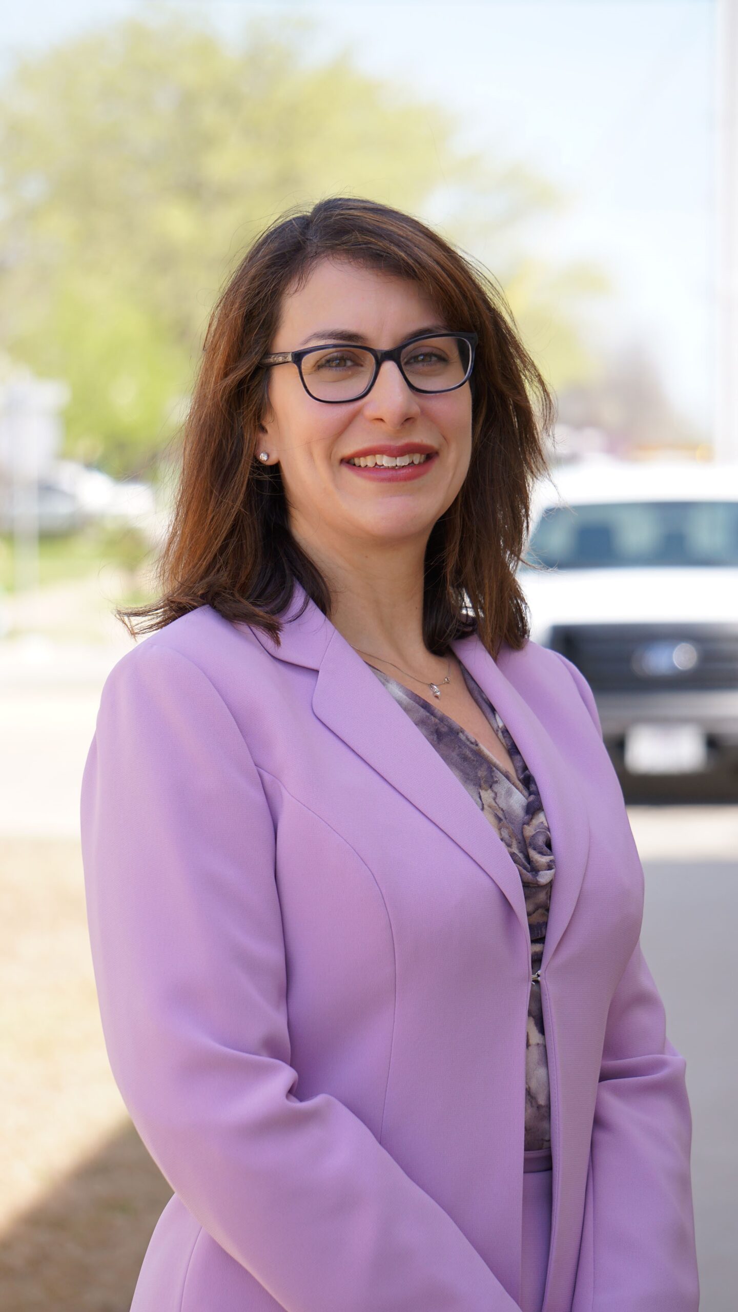
A 2018 UN report shows that 2.5 billion people will be added to urban areas by 2050, which would create 12 additional megacities. This attraction to the economic opportunities, community, and cultural diversity that cities possess really magnifies the need for solid infrastructure that accommodates these swelling populations. Urban planners are in the front lines trying to accomplish this by developing policies for the controlled use of urban land and advising on different factors effecting those policies. These professionals have to take insight from architects, politicians, businesses, and other stakeholders on how to make an efficient and prosperous city. This job is now facing a unique climate of heighted health concerns and must decide how public spaces can be proactive for future pandemics. Even without the dangers of becoming infected, the trend towards remote work has made more people reprioritize what they want from their urban landscape or even question if they want to stay. Quicken Inc. had created a 2020 survey interviewing 1000 millennial renters, which reported that 37% of them were under heavy consideration on leaving their city. I reached out to Jackie Reyff, a Principal Planner in Colleyville, to discuss what the implications are for city planners and for city expansion patterns.
After the cholera outbreak of 1849, Britain’s sanitary reform was created. Frederick Law Olmsted, the head of the U.S. Sanitary Commission during the Civil War, became the chief architect for Central Park when he saw the dangers of overly-congested urban streets. What public planning strategies do you think will be sparked due to the COVID-19 pandemic?
It’s pushed our profession to be more digitally based. We can still do the work that we were doing, just do it in a different way. We’re switching our processes and procedures to a more virtual environment. A lot of urban planning is community outreach, public meetings, and getting a sense of what’s going on in the community based on a project. We can still get input and still have meetings, but we have to do it virtually.
A report by WSP Global Inc. states that access to more green spaces, suburban revival, and less centralized urban centers are the trends expected to appear after COVID-19. Could these outward expansions have largescale environmental impacts and can safeguards be placed to avoid this?
I can tell you that the planning profession as a whole, at least for the last 30 years, has been working on managing environmental externalities. There’s also larger trends towards creating walkable communities, even in suburban environments. Grapevine is an example in the success of this strategy. Areas like Richardson and Plano already had the public transportation piece, and then they saw the ability to make walkable communities around it. This was where people could work in Dallas but take a train back to their house. I’m actually from the Chicago area. I was used to seeing these large public transportation projects up there before they were doing them down here. A lot of that boils down to Chicago being an older city and to the legacy established by key designers like Daniel Burnham. Those ideas permeate through other cities until communities begin to embrace them, but this can take time with the need for political capital. North Richland Hills had hometown development in the 1990s, which had taken. City planning takes years to make concrete steps towards progress.
The public square in Dundalk, Ireland became a hotspot for COVID-19 cases until local officials stepped in and covered the seating areas with tape barriers. Can urban planning be proactive in the way building designs take future health vulnerabilities in account?
I think that this is a learning experience for both urban planning and architecture to be honest, and I think out of this there will be more creative ideas. The city of Chicago had a design contest over the summer to figure out how to help struggling restaurants. A lot of small restaurants have been dealing with spacing issues to meet COVID-19 health regulations. It also gets really cold during the fall and winter, which limits the alternative of outdoor seating and patios. The design competition had amazing entries like a cube shaped module that could fit into parking lanes or adjoining open front cabins with radiant floor heating. And then there was another one that had heated tables. It was helpful because it was able to find a meaningful compromise between the safety of individuals and the operations of small businesses. Another creative example is Walmart using their parking lots for drive-in movie theatres. You could get free tickets and in some of the local Walmarts they put a movie screen on the side of their building. There’s all of these different ways that you can still have community events, but in a safer way. I’m kind of looking at this as how can you take your current environment and change it.
Janette Sadik-Khan, the former Department of Transportation commissioner in New York City, has stated that “we must rethink our streets to create the six-foot city”. This primarily tackles the idea of finding more independent transportation alternatives, where people can socially distance from each other. How can this be done without creating congested traffic in different urban centers?
There’s been a trend in planning to create walkable situations like NRH. That was always conceived so that people that live in those houses could walk to places like the grocery store, school, or a fitness center. I would expect that that trend would continue as suburban communities become revived. At some point you hit build out, then you have to start thinking about where do you want to go in the future? Plano and Richardson went through options, worked with their community, and came up with plans to transit oriented development. Those areas have had huge successes with that, but not everybody envisions the same goal for their community. This goes beyond COVID-19 and you have to know what your community is looking for and the political will it takes to achieve it. There’s something called the Veloweb through the North Central Texas Council of Governments, which is working on creating bike paths and running trails that connect city to city. Bedford, Euless, and Colleyville have come together to obtain grants so they could put a trail underneath Highway 121. The residents on the east side of Highway 121 could take that trail and walk to all the stuff over at the Glade Parks area. Meanwhile, the residents of Bedford could take the signal light there and walk across to Glade Parks and the folks that live in Colleyville have the ability to walk over there and check out the shops. It’s all interconnected.
What type of data are city planners reliant on for their roles and could a need for more local or national data be needed post-COVID?
We look at census data for big picture things and to get projections. If we need to do projections for long range planning, then census data is pretty standard across the profession. We also use a lot of geographic information system data. This dives into the different land uses. What percentage of that land is in use and if there’s a change in an ordinance how may it be effected? How much the city could be affected by it? We also use data from the Tarrant Appraisal District. We do zoning cases where we have to create maps with buffers around them like 200 to 500 feet. And then we have to send letters from the city regarding that project so that the adjacent neighbors know what’s going on. If they have any questions or they’re objecting to a development or they’re in favor, they can send letters and have either support or are not in support of that project. So, we really rely on that type of data. We don’t use a lot of similar data to an area like New York City, because that would be comparing apples to oranges.

